

Earthquakes are a reality of life in some places and their impact can be devastating. That’s why we designed Beacon – an award-winning, real-time notification service that helps assess and manage the impact of earthquakes on buildings and structures.
Born out of the lessons learnt following New Zealand’s 2013 Seddon and Cook Straight earthquakes and the 2016 Kaikoura earthquake, Beacon uses big data to help our clients in the wake of an earthquake.
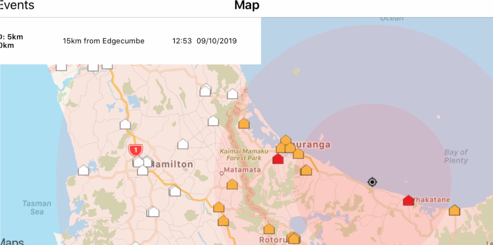
How does Beacon work?
Beacon’s innovative software indicates the potential for damage to your assets by combining live earthquake information with insights gathered from your assets’ own seismic assessments. It sends out automated alerts (via app, text or email) within minutes of an earthquake to warn you about buildings in the earthquake’s vicinity that may be affected. Enhanced information can also be obtained by fitting physical sensors to your assets.
What are the benefits of Beacon?
-
Fast information – within minutes of an earthquake you are given intelligent information, enabling you to make informed decisions. Previously, obtaining this information may have taken days of scarce engineer resources.
-
Portfolio view – this allows you to understand where in your portfolio you need to prioritise your resources, and helps co-ordinate communications with your stakeholders.
-
Staff reassurance – by reassuring your team you have an objective process for triaging property risk.
-
Leverages existing building information – Beacon provides additional value from the seismic assessments you have already completed.
The Beacon System has received high accolades, winning the 2018 Most Innovative Hi-Tech Service award at the NZ High-Tech Awards.
Related Markets Buildings Commercial Buildings Healthcare


LATEST POSTS
- Discovery of hidden faults sheds light on mystery of 'slow earthquakes'
- Filling the gap- Port Taranaki tsunami gauge enhances national monitoring network
- Solomon Islands Prime Minister hosted by Wellington business
- Rain from tropical cyclones to increase under warmer climate
- Value beyond compliance- GRI’s updated Standards as a compass for meaningful climate action
- Presentation of Natural Hazards Inc at Blue Forum well received
- Moving from earthquake prone to earthquake proof
- Distinguished Professor David Johnston of Massey University's Joint Centre for Disaster Research has passed away
- GNS Science readying Aotearoa for the next ‘big one’
- Insights into Fiji’s Building and Construction Industry
- Unusual disturbances above Antarctica bring winter north
- July 2024 marks 25 years of issuing the Seasonal Climate Outlook
- NIWA scientists find evidence of sediment impacts on seafloor ecosystems following Cyclone Gabrielle
- Egis wins at 2024 Property Awards
- Presentation on Coastal Management in the coral island setting shines a fresh light
- Beca announces a key leadership role with new Country Manager for Fiji
- Egis – 'Transitional Opportunities' presentation by Peter Ollivier on 28 March
- Resilient River Communities Quarterly Update March 2024
- Rethinking shelter to respect local building cultures and keep women safe
- Natural Hazards Inc - collaborating to create a more resilient tomorrow

Although short-lived, earthquakes are the most menacing and feared of natural hazards because of their sudden impact and devastation. Widespread loss of life and property can occur within seconds. Most large earthquakes are caused by movement on a fault. An area’s vulnerability to seismic hazards can be readily identified based on a number of local conditions, such as liquefaction potential, ground shaking amplification, instability, and distance from a fault. There are a number of actions that can help to mitigate an area’s vulnerability to a damage-causing quake, these include land-use planning, building design, response and recovery plans, and community awareness.
EARTHQUAKE NEWS & STORIES
... loading ...